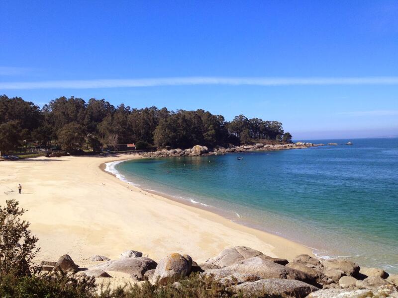
Sendero Azul del Cabo Udra
Transportes mais próximos:
Cidade mais próxima:
Vigo
Cabo Udra
36930 Bueu Pontevedra
Spain
Teléfono
Web
This route runs through the west coast of the municipality of Bueu, where the headland of Cabo Udra marks the end of the bay of Aldán and the beginning of the estuary of Pontevedra with several rocky coves. The panoramic views over the estuary of Pontevedra and the island of Tambo are stunning from the peak of this headland (at 91 m) and the hill of Carafixo (129 m). The main attractions of the route are along the coast of Cabo Udra.
Avaliar este recurso
Figuras de proteção
Zona protegida Rede Natura 2000 - Sítio de importância comunitária (SIC)
Tipologia do itinerário
Circular
Início da viagem
Cabo Udra
Duração
1h 45 min
Comprimento total (km)
7,25 km
Interesse paisagístico da zona envolvente
Elevado
Descrição do ambiente
Marítimo
Pontos de interesse
Cabo Home, Monte do Facho, Cabo Udra
Sinalética
Adequado
Dificuldade
Abaixo de
Estado de conservação
Bom
Organismo responsável
Concello de Bueu


