DÉCOUVRIR
Cascadas de Raxoi - río Valga


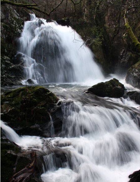
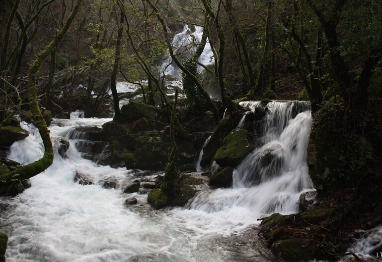
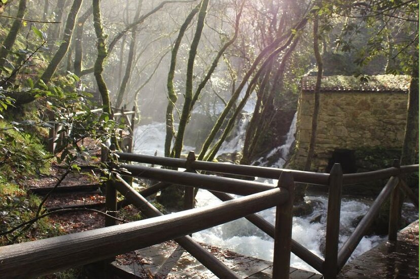
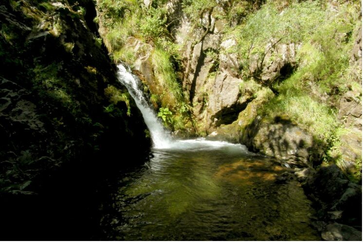
The Valga river rises in the Xesteiras mounts and heads towards the west, towards the land after which it was named. It runs at the foot of the A Capela dos Mártores chapel, and then enters a narrow valley carved by the river itself. After passing through Raxoi, the river skirts a mountain and heads to the north, between the old N-550 road and the highway, drawing a “V” on the land. Between Raxoi and Pedrafita, the river enters a rocky area flanked by the mount Cerquido and descends 50 metres embedded in it, in just 200 metres.
Transports le plus proche:
Ville la plus proche:
Vilagarcía de Arousa
En savoir plus sur

Valga
Notez cette ressource
- Image
- Image
- Image
- Image
Organisme responsable
Concello de Valga
Intérêt paysager des environs
Surélevé
Description de l'environnement
Fluvial
Signalisation
Adéquat
État de conservation
Bon
Autres services
Rutas en el entorno