- Image

This linear trail in the parish of Escuadro starts at the mill known as Muíño de Varela, and has its ending point at the bottom of the Férveda waterfall. Its difficulty level is low, except for the last 200 metres of ascent to the bottom of the Toxa river waterfall.
- Image

This circular trail goes through the parish of Zobra. Its difficulty increases when the itinerary is followed by bicycle due to the steep slopes. The route can also be taken by motor vehicles (mountain motorbike or quad bike).
- Image

This trail along the Miño river passes through the municipality of Salvaterra, going from the park of A Canuda to the mouth of the Caselas river, which acts as a natural border with the municipality of Tui. The surrounding riverside vegetation, the vineyards and the pesqueiras (dams used for f…
- Image

Sail the last stretch of the Way of St. James to earn the Nautical Compostela! It takes place every year, during the first week of August, to commemorate the Translatio, the route to take the corpse of the Apostle St. James to Galicia. It is divided in various stages, and it ends in the Santiago C…
- Image

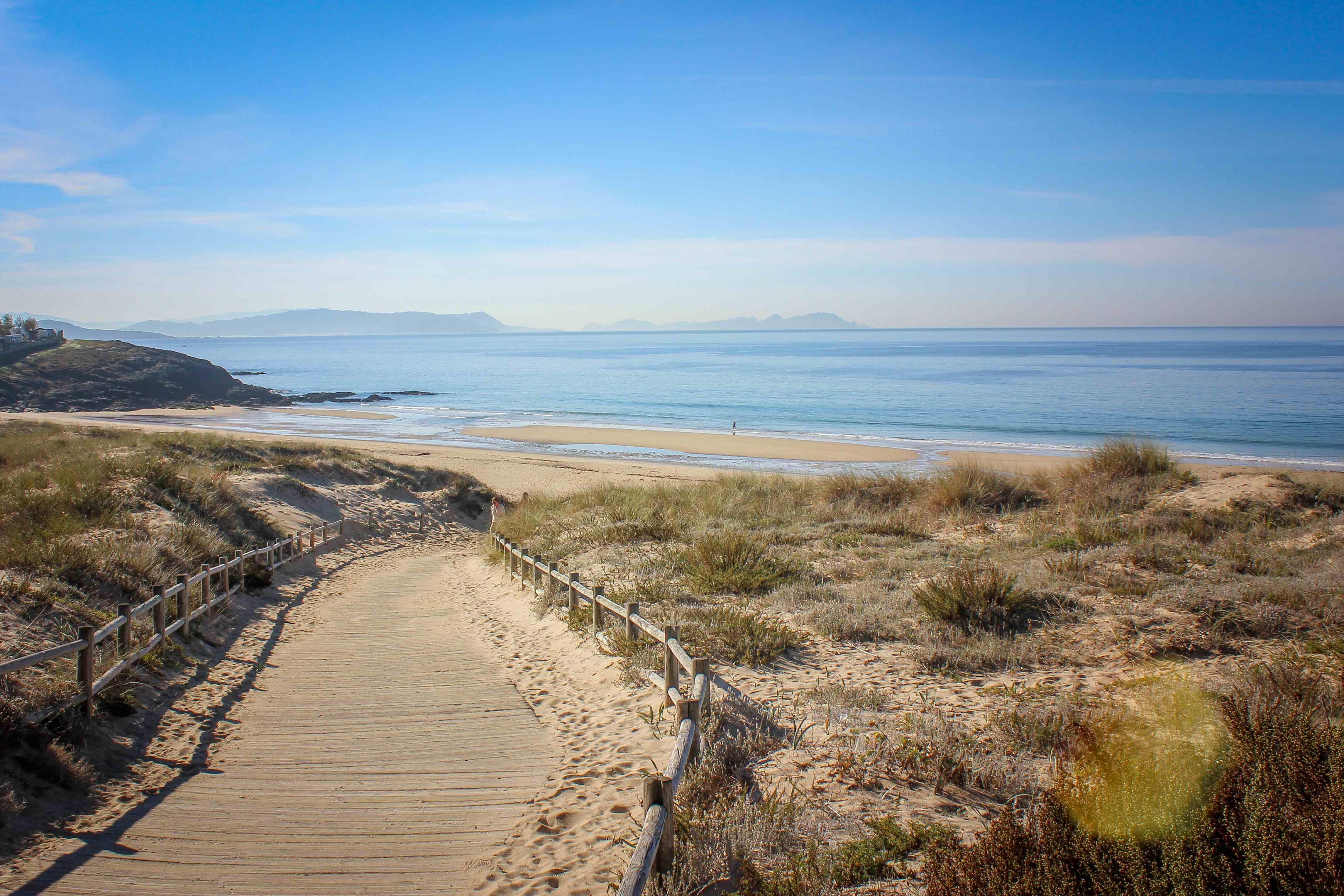
This stunning route runs through natural landscapes and an area of archaeological interest. It is fitted for all seasons.The route links several itineraries to Blue Flag beaches or ports, contributing in a positive manner to the sustainable use of the coast. It includes the following sections:…
- Image

The Senderos Azules (Blue Trails) have an important social function as excellent places to enjoy nature and as core elements for development, health and wellness of society as a whole. In Sanxenxo, the following sections are connected to well-known Blue Flag beaches: Sendero Mágico de A Lanza…
- Image

The Ruta da Pedra e da Auga (the ‘route of stone and water’) follows the riverside of the Armenteira River, which rises in Mount Castrove, at 370 metres above sea level, and passes through the municipalities of Meis and Ribadumia. The route lets visitors enjoy the natural wealth and the stone const…
- Image

The first part of two routes that tour the manor houses of A Estrada. There is a total of 6 manor houses, of which the Pazo de Oca —recognised as an Artistic Historical Monument— is the only one whose interior can be visited.
- Image

This accessible pedestrian route, which can be partially ridden by bikes, starts at street Avenida de Madrid and runs alongside the Lagares River for more than 8.1 km until it reaches the mouth of the river, where it splits into two sections. They lead to two sandy areas: Adro to the east and Canido…
- Image

The trail runs through the municipalities of Meis, Meaño and Sanxenxo in the O Salnés district. It starts at its highest point in Valboa ( Meis municipality) in the hills of the parish of Santa María de Armenteira, then runs downriver through the parishes of Santa María de Simes and San Miguel de Lo…