DISCOVER
Ruta del río Chanca
- Image


Armenteira
36192 A Armenteira (Santa María) Pontevedra
Spain
Teléfono
Know more about

Meis
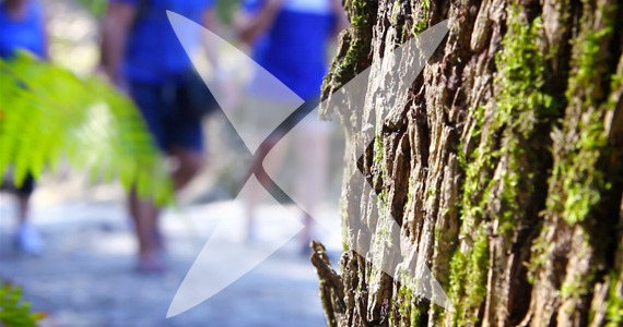
The trail runs through the municipalities of Meis, Meaño and Sanxenxo in the O Salnés district. It starts at its highest point in Valboa ( Meis municipality) in the hills of the parish of Santa María de Armenteira, then runs downriver through the parishes of Santa María de Simes and San Miguel de Lores, in the municipality of Meaño. There's a short - 250 m - stretch in the parish of Nantes, in the municipality of Sanxenxo, then it once again crosses Meaño, running through the parish of Dena, before terminating at the mouth of the River Chanca
Nearest city:
Pontevedra
Rate this resource
Typology of the route
Linear
Duration
15 minutos
Total length (km)
10073 metros
I.G.N. cartography
Cartografía I.G.N (1:25000): Nº 185-I Meaño
Landscape interest of the surroundings
Moderate
Description of the environment
Fluvial
Difficulty
High
Itinerary (M.I.D.E.)
1
Displacement (M.I.D.E.)
2
Effort (M.I.D.E.)
2
Medium (M.I.D.E.)
1
State of conservation
Good
Responsible body
Concello de Meaño
Recommended material
La vestimenta más adecuada es aquella que sea ligera, amplia y que permita libertad de movimientos. En invierno, lleva ropa de abrigo. En verano no olvides un gorro, gafas de sol y protección solar. Un chubasquero nunca está de más. El calzado es lo más importante para el senderista. Utiliza calzado cómodo (preferentemente botas que protejan el tobillo y que tengan gore-tex para impedir que el agua penetre en la bota) y calcetines de tu tamaño sin costuras ni relieve. Es conveniente llevar alimentos de fácil asimilación (frutos secos, barritas de chocolate o energéticas, etc.) así como hidratarse durante la marcha.