DISCOVER
Río Ulla
Pontevedra
Spain
Teléfono


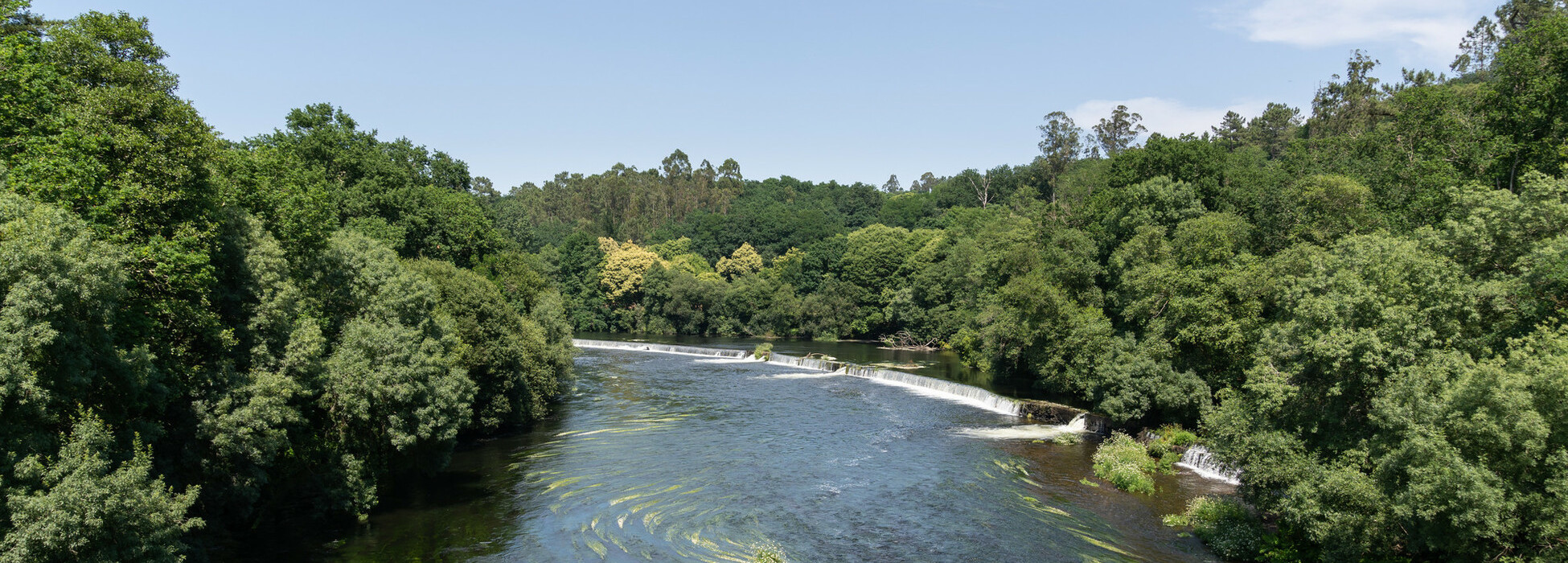
The Ulla River starts in Antas de Ulla (province of Lugo) and ends in the estuary of Arousa (province of Pontevedra). Along with the Deza River, it is part of a river system that marks the border between the provinces of A Coruña and Pontevedra. It is an area of great biological importance, not only due to the fauna and flora it contains, but also due to its geological features.
Nearest transports:
Nearest city:
Vilagarcía de Arousa
Know more
Municipality
×
Know more about


A Estrada
Know more about
Agolada
Know more about
Catoira
Know more about
Pontecesures
Know more about
Silleda
Know more about
Valga
Know more about
Vila de Cruces
Rate this resource
- Image

- Image
- Image

Figures of protection
Protected area Natura 2000 Network - Site of Community Importance (SCI)
Municipalities it travels through
Agolada, Vila de Cruces, Silleda, A Estrada, Pontecesures, Valga, Catoira
DImensions
2.803,6 km²
Responsible body
Dirección Xeral de Conservación da Natureza, Consellería de Medio Ambiente Xunta de Galicia
Landscape interest of the surroundings
Elevated
Description of the environment
Fluvial
Fun facts
Caudal medio de 79,3 m3/s
Sport or underwater fishing
Yes