Ruta de Os Pilros
Nearest transports:
Nearest city:
Vilagarcía de Arousa
Parque Natural do Carreirón
36626 A Illa de Arousa Pontevedra
Spain
Teléfono
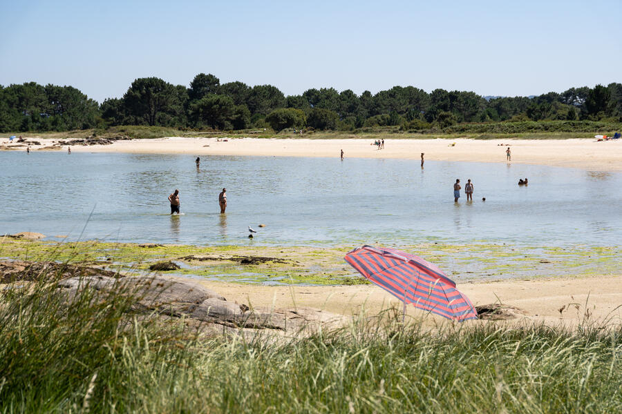
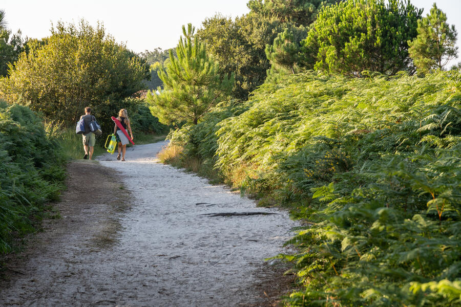
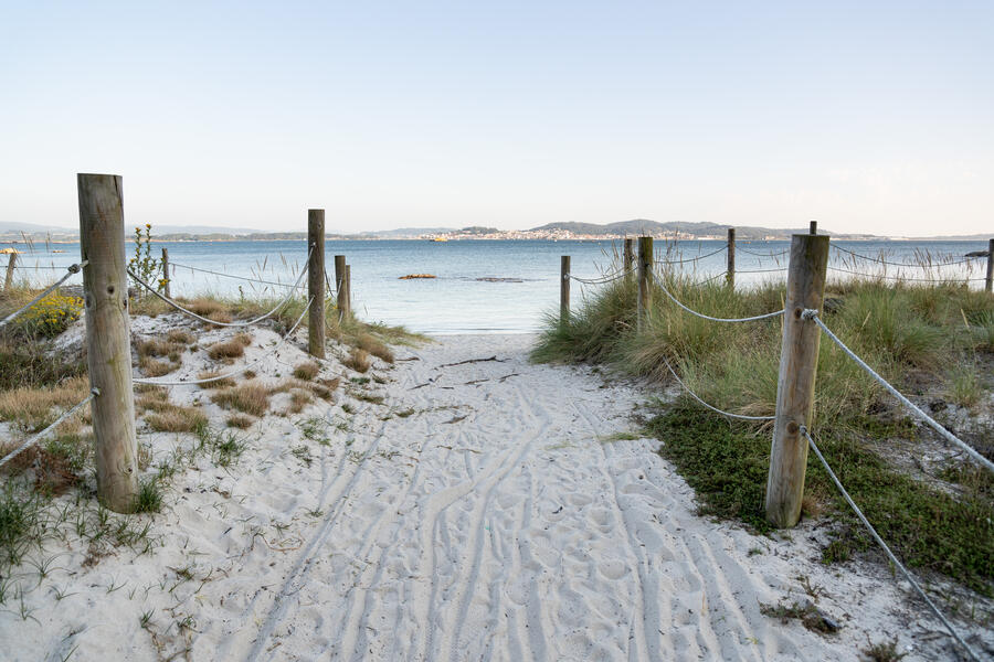
The route runs through the Carreirón Natural Park (part of the Umia-O Grove Intertidal Complex), in the south of A Illa de Arousa. Along it, you'll see very varied ecosystems: rocky outcrops, coves both small and large, dunes, marshes and lagoons. You'll also enjoy watching water birds if you're there during the migration seasons (spring and autumn); the dunlin or corremolinos is the most common bird on the island, and gives the route its name. You can also watch the small fishing boats close to the coast and the shell-fish gathers who work both on foot and from boats
Rate this resource
Figures of protection
Protected area Natura 2000 Network - Site of Community Importance (SCI)
Typology of the route
Circular
Total length (km)
3,36km
Landscape interest of the surroundings
Elevated
Description of the environment
Maritime
Signage
Adequate
Difficulty
Under
Itinerary (M.I.D.E.)
1
Displacement (M.I.D.E.)
1
Effort (M.I.D.E.)
1
Medium (M.I.D.E.)
1
Responsible body
Concello de A Illa de Arousa
Other services
Playas


