DISCOVER
Sendero Cuntis - Valga PRG-21
Pontevedra
España


Este sendero nace de la unión de los territorios siguiendo caminos empedrados y secundarios, atravesando montes y viñedos, que muestra auténticas maravillas de la naturaleza a su paso.
Nearest transports:
Nearest city:
Vilagarcía de Arousa
Know more
Municipality
×
Know more about


Cuntis
Know more about
Valga
Know more about
Caldas de Reis
Rate this resource
- Image
- Image
- Image
- Image
Typology of the route
Linear
Start of the journey
Centro urbano de Cuntis
End of the journey
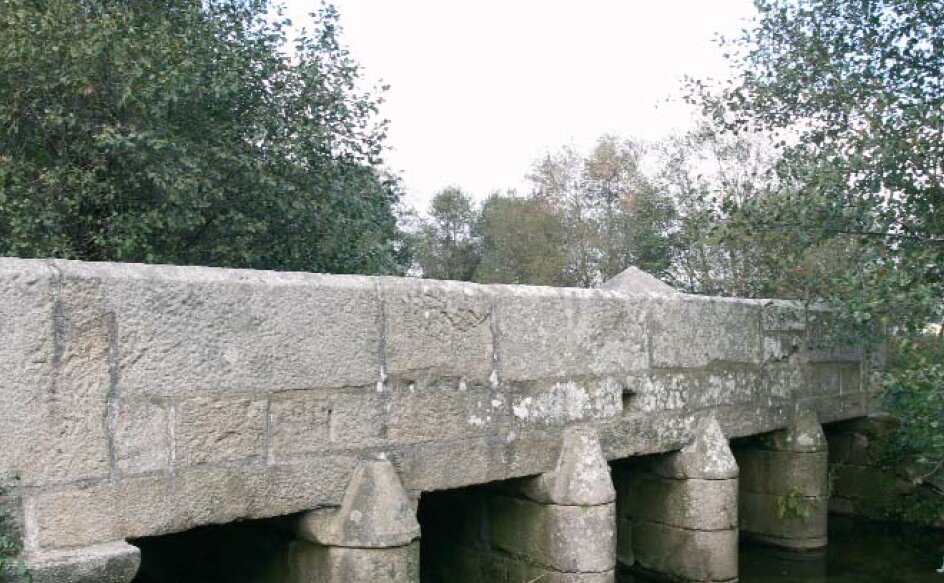
Ponte Valga
Duration
6 h 20 min
Total length (km)
17,67 km
I.G.N. cartography
I. G. N. 1:25.000 - Nº 152 II Caldas de Reis y Nº 1520 IV Padrón
Landscape interest of the surroundings
Elevated
Description of the environment
Rural
Points of interest
Villa termal de Cuntis
Monte Xesteira
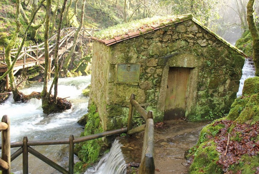
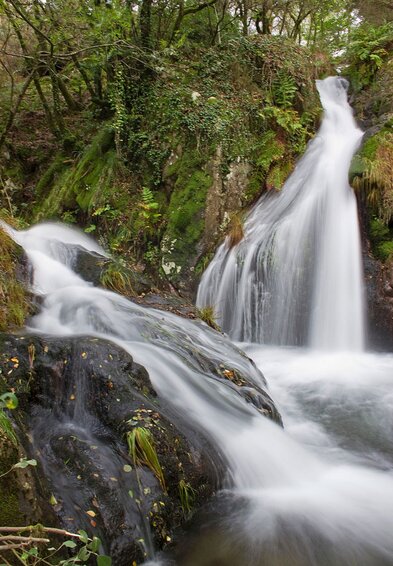
Fervenzas de Raxoi
Pedra das Serpes
Fervenzas del río Valga
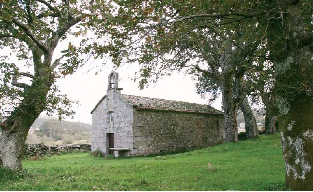
Conjuntos parroquiales
Petroglifos de a Ran
Monte Xesteira
Fervenzas de Raxoi
Pedra das Serpes
Fervenzas del río Valga
Conjuntos parroquiales
Petroglifos de a Ran
Signage
Pending
Difficulty
Under
Itinerary (M.I.D.E.)
3
Displacement (M.I.D.E.)
2
Effort (M.I.D.E.)
2
Medium (M.I.D.E.)
2
State of conservation
In need of rehabilitation